Search for more information
500,000 pts/sec
120 m with optional upgrade
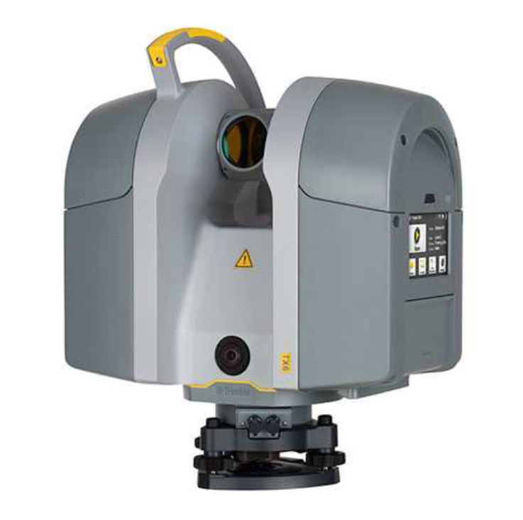
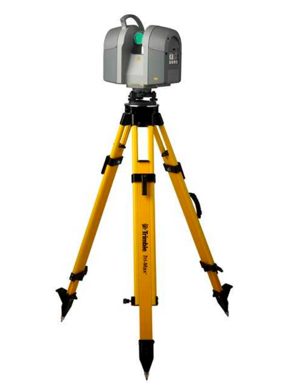
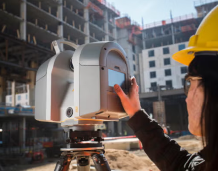
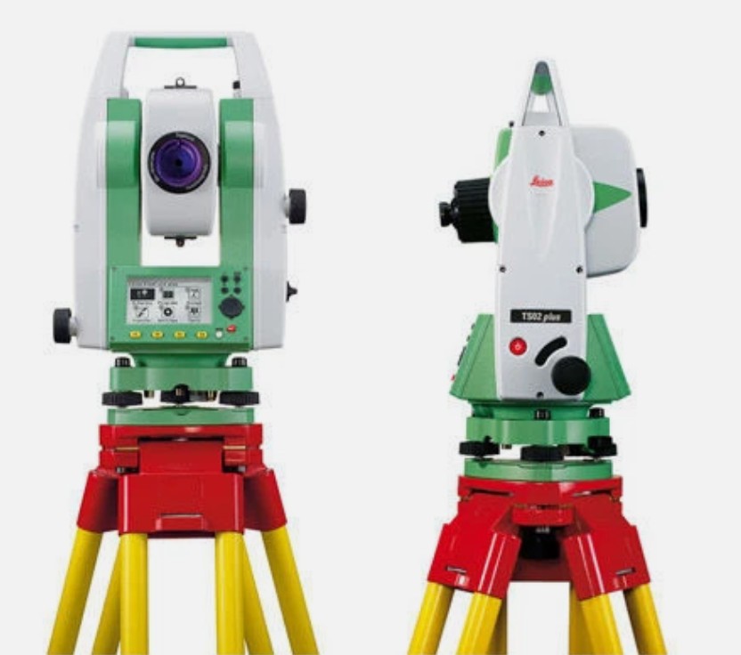
@The Trimble TX Series of 3D laser scanners for building construction applications offers you a choice in how you can approach data capture on any jobsite to keep up with the demands of today’s need for better, more detailed information that can be used in design or progress analysis of your project. By combining the high quality output needed for precise data capture and the scanning-range appropriate for most building projects, you will experience the ultimate in speed, quality and range. Trimble's 3D laser scanning solutions provide a cost effective and efficient method for gathering existing locations of structural components.
The Trimble TX Series scanners streamline work in the office as well. The scanner’s clean, low-noise data reduces processing time and the data loads directly into Trimble RealWorks® or Scan Explorer, enabling easy project collaboration via Internet Explorer. RealWorks also provides efficient data flow into popular CAD programs and Trimble EdgeWise and SketchUp, for point cloud modeling.
Key features
Trimble 3D laser scanners deliver high density 3D point clouds by performing high-speed measurements without compromising range or precision.
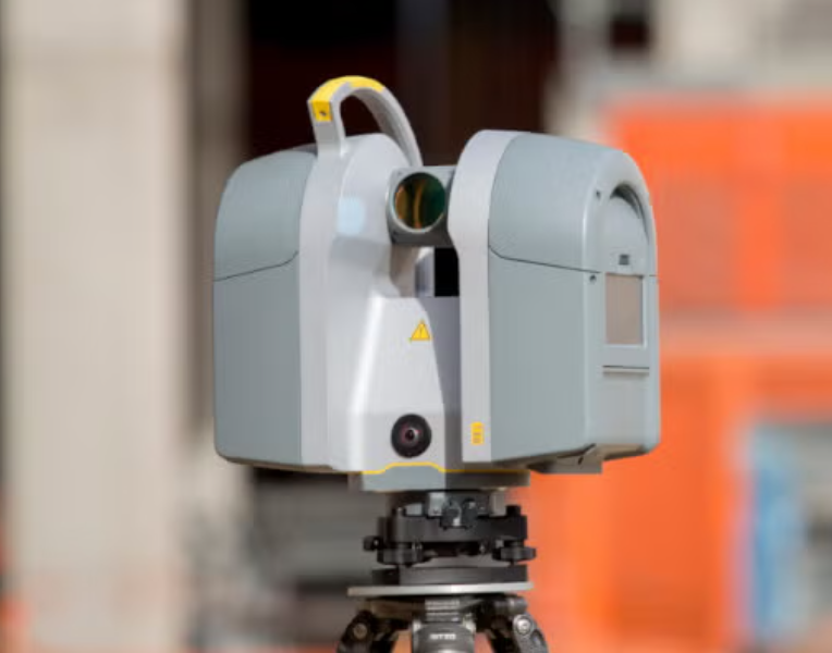
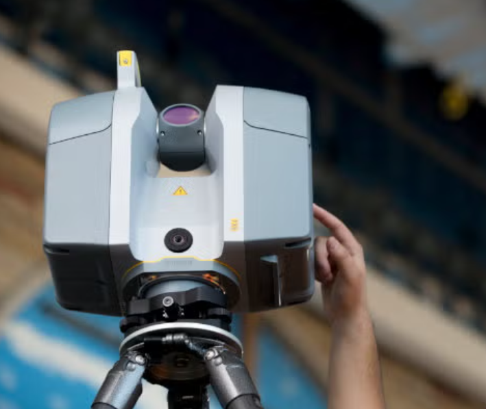
The scanner provides a 360° x 317° field of view and captures high density scans in three to six minutes.
The Trimble TX6 maintains high precision over the entire upgradeable range extended from 80m to 120m.
The TX8 with its high performance over its entire range extended from 120m to 340m.
Highlights:
Fast, high-resolution scans in as little as three minutes
Wide 360-by-317-degree field of view
Data accuracy, clarity and richness with high-density 3D point clouds
Fast image capture to colorize scans with VISION™ technology
Intuitive and easy to operate
Data integration with Trimble survey instruments and Trimble Realworks software
Applications:
Urban Environments – Streets, Buildings & Utilities
Civil Infrastructure – Roads, Highways, Bridges, Dams, and Tunnels
Building Information Modeling (BIM)
Virtual Design Construction (VDC)
Building- Construction, Renovation
Pre-construction as-builts
Industrial Environments – Plants, Offshore Platforms, Ships, Factories
Deformation monitoring
Preservation and restoration
Public Safety
Specifications
| Scanning Principle | Vertically rotating mirror on horizontally rotating base |
| Range Principle | High-speed time-of-flight powered by Trimble Lightning technology |
| Scanning Speed | 500,000 pts/sec |
| Maximum Range | 80 m on most surfaces |
| Extended Range | 120 m with optional upgrade |
| Range Noise | <2 mm on most surfaces |
| Laser Class | 1(eye safe in accordance with IEC EN60825-1) |
| Laser Wavelength | 1.5 µm, invisible |
| Laser Beam Diameter | 6–10–34 mm @ 10–30–100m |
| Minimum Range | 0.6 m |
| Max. Standard Range | 80 m on 18–90% reflectivity |
| Extended Range Performance | 120 m on 18–90% reflectivity, 100 m on very low reflectivity (5%) |
| Range Noise | <2 mm from 2 m to 80 m on 18–90% reflectivity (standard) <2 mm from 2 m to 120 m on 18–90% reflectivity (extended) |
| Range Systematic Error | <2 mm |
| Field of View | 360° x 317° |
| Angular Accuracy | 80 µrad |